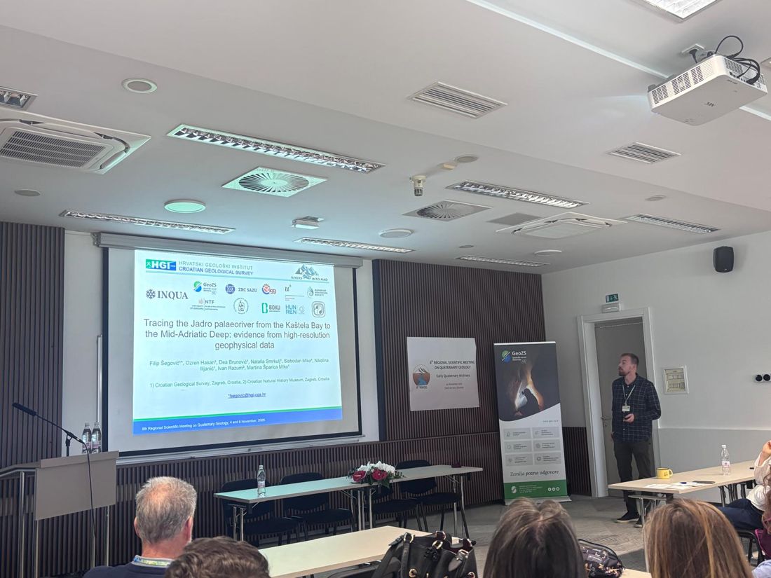
Reconstruction of submerged archives of the Cetina palaeoriver and lake system in the eastern Adriatic coast during the Last Glacial Maximum
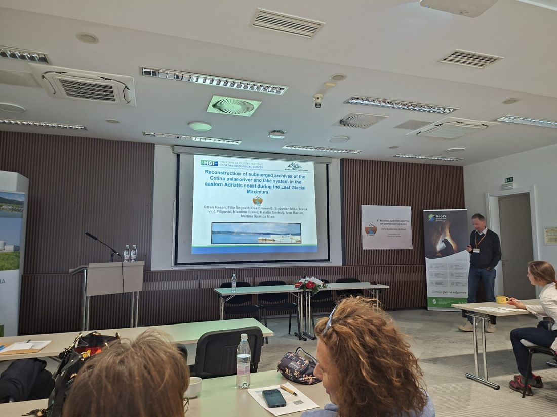
Oral presentation · Photo: Iva Palatinuš
Ozren Hasan¹, Filip Šegović¹, Dea Brunović¹, Slobodan Miko¹, Ivona Ivkić Filipović¹, Nikolina Ilijanić¹, Natalia Smrkulj¹, Ivan Razum², Martina Šparica Miko¹
¹Croatian Geological Survey, Croatia
²Croatian Natural History Museum, Croatia
Read abstract
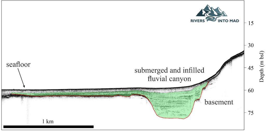
During the Last Glacial Maximum (LGM), karst rivers incised their channels into the now submerged part of the eastern Adriatic shelf (Juračić and Prohić, 1991), due to the sea level being at a depth of -120 and -134 meters below the present level (Lambeck et al., 2014; Maselli and Trincardi, 2013). However, the currently available studies in the area (e.g., Fritz and Bahun, 1997; Crmarić et al., 1998; Sikora et al., 2014) do not indicate the flow path, morphology, or sediment infill of the submerged systems.
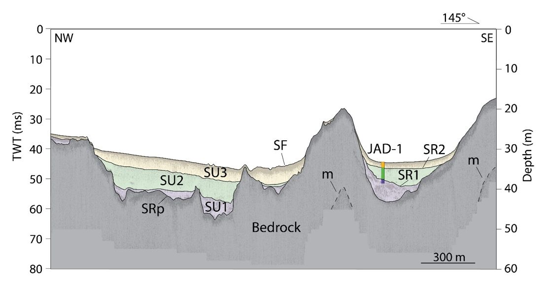
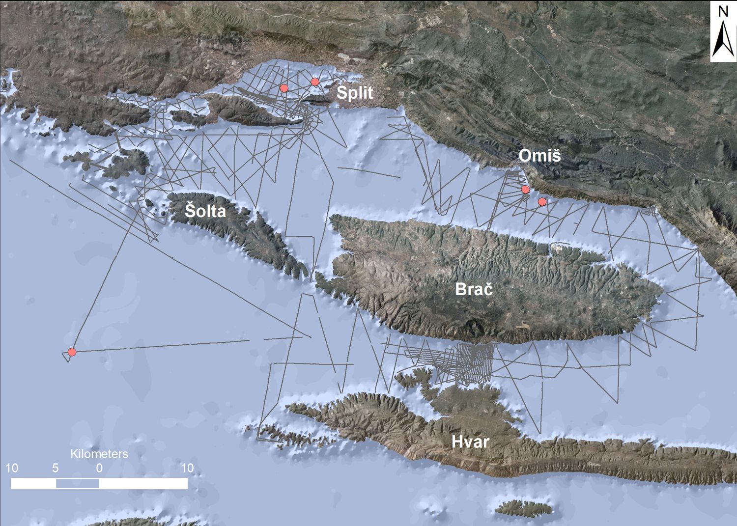
This study aims to define submerged Quaternary landscapes surrounding the karst river Cetina located in central Dalmatia, with a particular focus on the precise recognition of the submerged fluvial and lacustrine archives. To achieve these objectives, we employed state-of-the-art instruments and methodologies. The field techniques included high-resolution acoustic surveys using a sub-bottom profiler (SBP) and multibeam echosounder (MBES), as well as coring in two locations. A collection of more than 780 km of SBP and MBES data was used to interpret the processes that lead to the formation of submerged environments. An evolution of the well-defined fluvial channel can be tracked for the Cetina River from its present-day river mouth, while in continuation there is evidence of the formation of a lacustrine environment between the islands of Brač and Hvar. The research continues with detailed sediment core analyses.
The findings of this study will enhance our understanding of Quaternary sea-level dynamics and sea-level-related landscape changes in the study area, which are pivotal for estimating future climate, sea-level variability, and the response of coastal systems to such changes.
The presented research was conducted in the scope of the internal research project „Rivers Into MAD” at the Croatian Geological Survey, funded by the National Recovery and Resilience Plan 2021–2026 of the European Union – NextGenerationEU, and monitored by the Ministry of Science and Education of the Republic of Croatia.
Corresponding author: Ozren Hasan (ohasan@hgi-cgs.hr)
References
Crmarić, R., Bogner, D., & Juračić, M., 1998. Holocenski sedimenti i sedimentacija u Kaštelanskom zaljevu. In M. Hodžić (Ed.), Znanstveno-stručni kulturološki skup, Kaštela, Zbornik radova, pp. 178-182.
Fritz, F., Bahun, S., 1997. The morphogenesis of submarine springs in the Bay of Kastela, Croatia. Geol. Croat. 50, pp. 105–110. https://doi.org/10.4154/GC.1997.10
Juračić, M. and Prohić, E., 1991. Mineralogy, sources of particles and sedimentation in the Krka River estuary (Croatia). Geološki Vjesn. 44, pp. 195–200.
Lambeck, K., Rouby, H., Purcell, A., Sun, Y., Sambridge, M., 2014. Sea level and global ice volumes from the Last Glacial Maximum to the Holocene. Proc. Natl. Acad. Sci. U. S. A. 111, pp. 15296–15303. https://doi.org/10.1073/pnas.1411762111
Maselli, V., Trincardi, F., 2013. Large-scale single incised valley from a small catchment basin on the western Adriatic margin (central Mediterranean Sea). Glob. Planet. Change 100, pp. 245–262. https://doi.org/10.1016/j.gloplacha.2012.10.008
Sikora, M., Mihanović, H., Vilibić, I., 2014. Paleo-coastline of the Central Eastern Adriatic Sea, and Paleo-Channels of the Cetina and Neretva rivers during the last glacial maximum. Acta Adriat. 55, pp. 3–18.